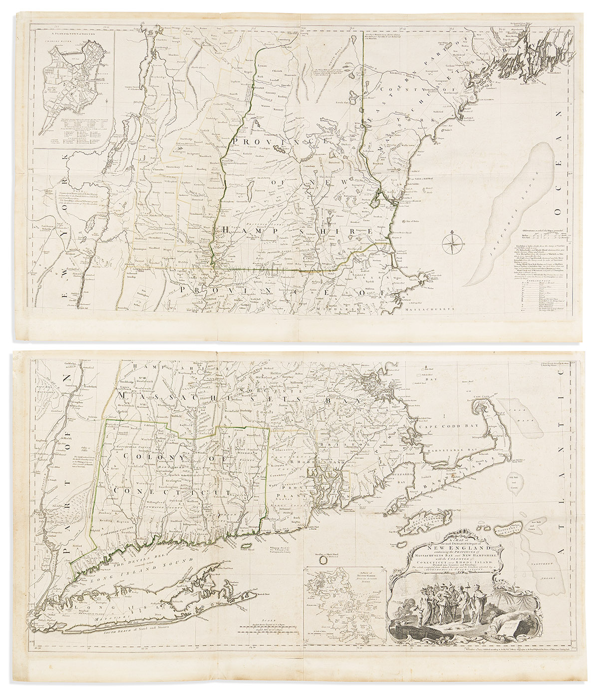
Sale 2706 - Lot 153
Estimate: $ 3,000 - $ 5,000
Also in This Catalogue
-

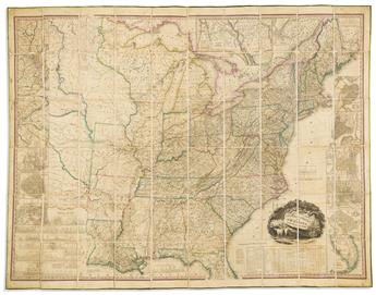 Lot 214(UNITED STATES.) Henry Schenk Tanner. United States of America... Third Edition.Estimate $3,000 - $ 5,000
 -
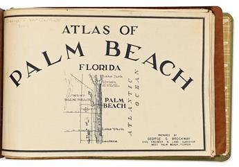 Lot 253(FLORIDA.) George S. Brockway. Atlas of Palm Beach Florida.Estimate $3,000 - $ 5,000
 -
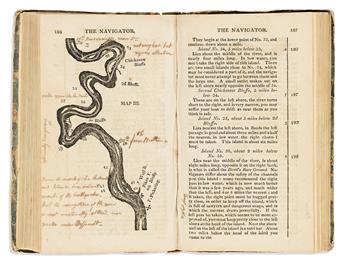 Lot 269(RIVER NAVIGATION.) Zadock Cramer. The Navigator: Containing Directions for Navigating the Monongahela, Allegheny, Ohio andEstimate $3,000 - $ 5,000